Site Location and Context
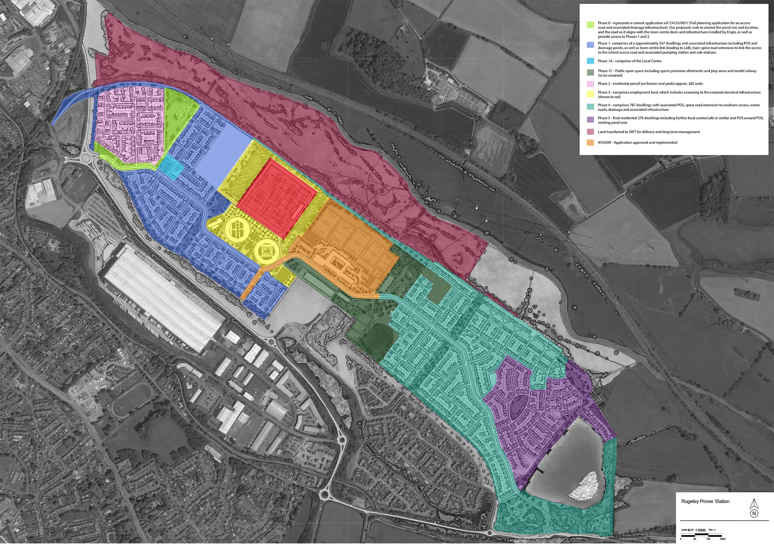
Approved phasing plan which indicates the extent of the Coalyards in pink.
The Coalyards site covers approximately 7.3 hectares. It comprises the northwestern land parcel, south of the proposed “Rail Way” pedestrian route, and east of the A51 – where it intersects Power Station Road. The site is located within approximately 800m from Rugeley Town Centre. It forms part of the 139 hectare, previously developed Rugeley Power Station site, which is subject to the initial outline consent for the development.
The above phasing plan has been approved (required by condition 5 of the outline consent) which shows the sequencing of the proposed new development. Planning consent for phase 1 in blue has recently been granted and works will commence in the summer, phase 2 in pink will follow once consent is granted.

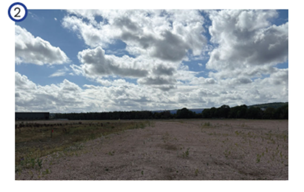
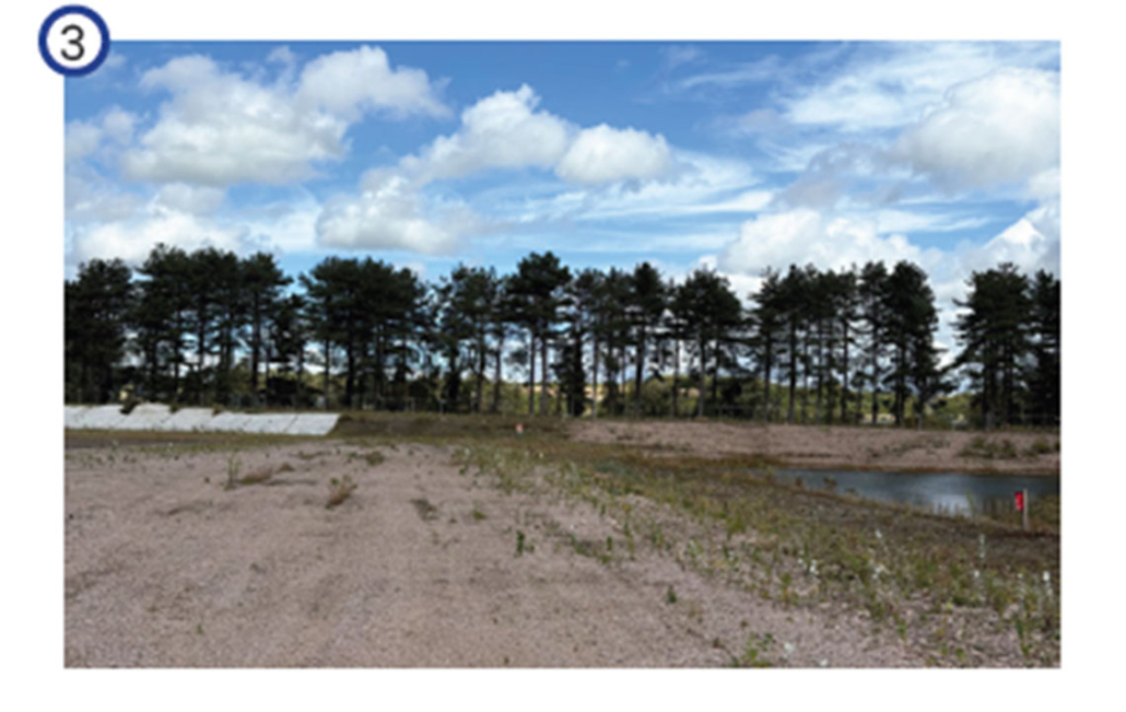
The following photos of the site were taken in September 2025 and demonstrate the site’s condition, topography and features.